
Kaufman County was formed from Henderson County, which was formed only two years earlier from Nacogdoches County, and from 1848 until 1850, the cities of Kemp and Mabank were in the “overlapping” part that was in the “1850 change.” This caused some of the settlers in the 1850 census to appear in Henderson County instead of Kaufman County, where they rightfully belonged!
The 1850 Kaufman County census lists 171 families and 982 people.
The 1860 census reported 611 dwellings and 3406 persons—about a 350% increase as compared to about 173% for the State as a whole, which seems to show a “reporting shortage” in 1850. The new boundary between the two counties had only been in place for about onehalf year in 1850, so possibly it was “mis-known” or indeterminate.
1850: Origin State of the majority of settlers was Texas (158)–Tennessee (152)–Kentucky (136)—Missouri (192).
WHAT? Many of the early Kaufman County property owners never lived in the County, but exercised their HEADRIGHT to obtain land here! Of the 150 original land owners in the county, only 50 or so of them were living here when it was formed in 1848, although sometimes “patent” dates did not correspond to acquisitions!
1731: Spain controlled the entire Southwest and offered “land grants” in the “Texas area” to heads of Spanish families in return for money (so-called “fees”). Until 1821, foreigners (non-Spanish) were forbidden to settle in this Spanish-Texas Province. During this 90- year period, Spain failed to keep records of land grants, making verifications of early claims almost impossible!
During the times of Mexican revolts, Spain liberalized its land policies and offered Texas land to foreigners–first grant was to MOSES AUSTIN in January of 1821. Mexico continued this policy after her separation from Spain, and a person could obtain land by direct purchase from the Mexican Government or by purchase from a contractor, who had been given land by the Government in return for “settling” families!
Mexico was extremely lavish with the disposition of these lands until 1835, when Texas declared its INDEPENDENCE and made null-and-void any Mexican grants given after 1833, leaving about 26,000,000 acres in Spanish and Mexican land grants that were recognized by Texas!
The new Republic was anxious to attract new settlers, which guaranteed the ability to defend the area and also provided a source of revenue taxes.
When Mexican rule was overthrown, all lands within the State boundaries became “public domain.” And, these lands (about 240 million acres) have been in the control of the “state” from 1835 until now.
1850: A boundary dispute between Texas and the United States was settled when Texas ceded 67 million acres to the U. S. in return for payment of $10,000,000 (ten million).
To attract necessary settlers, the State offered land grants to immigrants who would stay and settle in Texas. **These grants were known as HEADRIGHTS, because they were ganted to “heads” of families.** These grants took several forms and covered a period from 1836-1842. 4428 acres (one league) was given to the head of each family, who was in Texas on 3/2/1836—with no settlement or improvement required.
Another example was the grant given to each family head, who settled in Texas in 1840 and 1841–amounting to 640 acres–but this required that the settler(s) live in Texas for three years and CULTIVATE at least ten acres! So, the person(s) was granted a conditional warrant or certificate by the County Land Office at the time of “settlement.”
Then, after three years of fulfilling the provisions, the “conditional” was exchanged for an “unconditional” certificate, entitling the “holder” to a “specific amount of land” from the public domain.
This CERTIFICATE could be held, or the “holder” was free to sell to someone else, who then became the ASSIGNEE.
If the “holder” retained the certificate, he located the vacant land he wished to own, presented his warrant to a licensed surveyor, who then made the survey for him. The surveyor next plotted the survey on the COUNTY MAP and sent the warrant, survey, and field notes to the Government Land Office.
Upon receipt of this data, the Land Office wrote the owner a “letter of Patent,” bearing the Governor’s signature and declaring the “owner” to be the “lawful owner of the land in question.”
Another popular method, and widely used method, of attracting settlers was the “Colonization Contract,” which was a practice that had been started earlier by the Mexican Government. 1841: The Republic of Texas entered into contracts with individuals and associations for the “recruiting and settlement” of blocks of IMMIGRANTS (generally 100 or more whole families). In payment for their services, the “contractors” received substantial amounts of PREMIUM LAND!
There were Four Major Colonies under the Contract Procedure:
1. PETERS COLONY–in north-central Texas, northwest of Dallas and Ft. Worth
2. MERCERS COLONY–eastern part of northcentral Texas, including Kaufman County
3. CASTRES COLONY–in South Texas
4. FISHER/MILLER COLONY–German immigrants in the New Braunfels area.
Each colonist received 640 acres if married and was required to build a house on each section. He also had to fence and cultivate an area of 15 or more acres on each section for at least three years.
Due to conflicting claims, there were many lawsuits involving Colonists, the State, and Contractors! Court testimony stated that prior to 1844, there were very few settlers in the Colony east of the Trinity River. There was one small settlement in Dallas County and six or seven families in Kaufman County.
During 1844-1845, “a good many” families settled in the county east of the Trinity River, but no one knew definitively who had induced the immigrants to settle, with settlers helping each other with the building of houses! The court report stated that “he never heard of Mercer helping settlers in any way!”
One other significant way that public lands were “distributed” was through MILITARY GRANTS of two categories.
BOUNTY GRANTS: land given to military recruits in advance as an incentive to serve in the Army and…..
DONATION GRANTS: land given to soldiers after service out of gratitude for “service rendered,” such as participation in specific battles (Bexar, San Jacinto, etc.), and for extended lengths of service.
The amount of land in the grants varied from 160 acres to as much as one league (4428 acres). As earlier detailed, soldiers could find, survey, and patent the land (like a headright settler), or they could sell their certificates.
**Obviously, there was “quite a scramble” for land prior to 1850!**
Many of the “headright certificate” holders lived in the older counties to the east, such as Nacogdoches, San Augustine, Shelby, etc., where they were established but where land was not as readily available as in areas to the west. Therefore, they tended to redeem their certificates for land in counties, such as KAUFMAN, but, many never lived here!
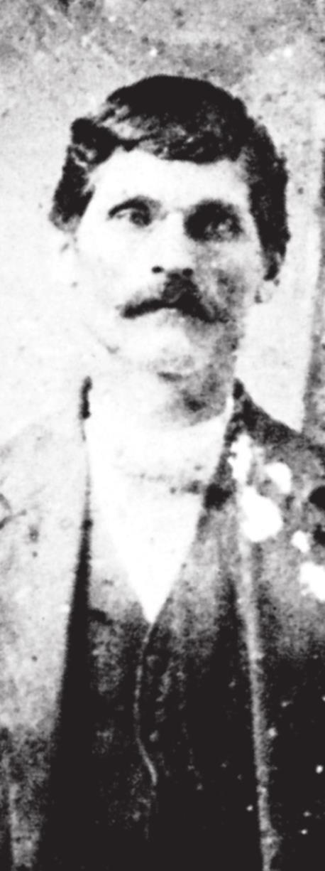
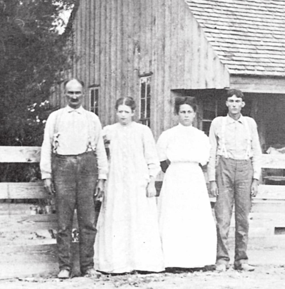
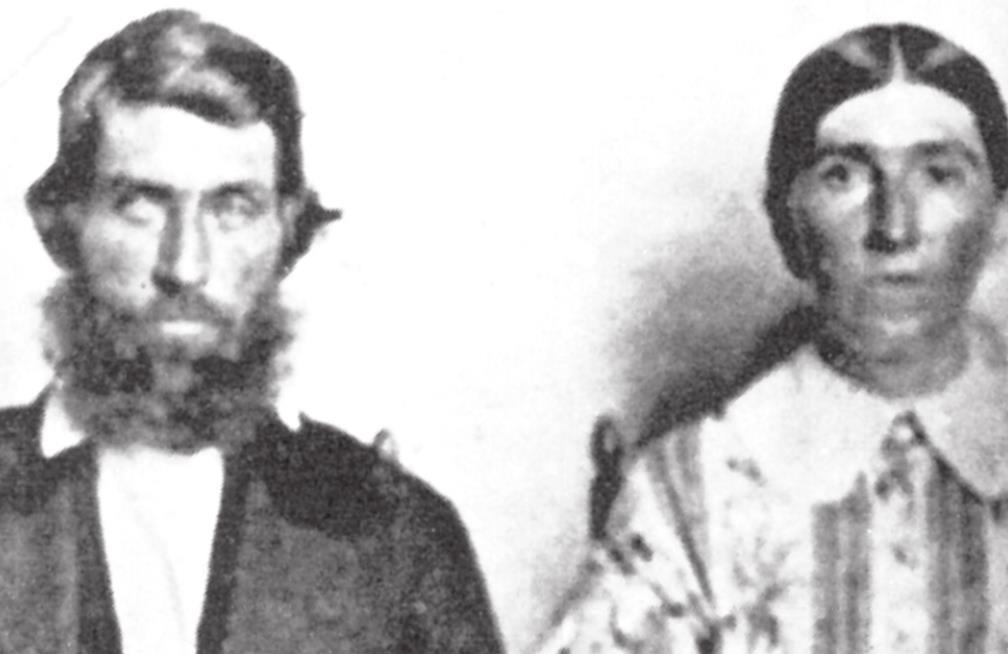
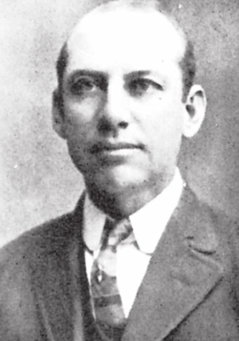
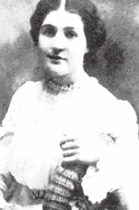
I am going to conclude with researchers’ efforts to “figure out” and list some (of the many) Kaufman County early settlers with differing occupations around 1848- 1850. (just a sampling)
James L. Alexander – 1815 – Tennessee – carpenter
William A. Allen – 1808 – Virginia – physician
B. W. Anderson – 1825 – Arkansas – sheriff
Joseph Anderson – 1826 – Arkansas – ferryman
Jesse A. Ashberry – 1816 – Georgia – farmer
Sterling R. Barnes – 1799 – Tennessee – wagon maker
William H. Beard – 1820 – Alabama – Mechanic
William Earnest Becker – 1800 – Germany – gunsmith
Enoch P. Chism – 1813 – Tennessee – preacher
Joseph M. H. Chism – 1819 – Tennessee – tax assessor
William Gibbard – 1817 – England - farmer
Glover Wells – 1811 – Kentucky – blacksmith
Elisha Turner – 1788 – Georgia – sadler
- Log in or Subscribe to post comments.