


Last week’s article concluded with the Community of “Antioch,” which some residents considered actually just a part of the “Lone Elm” neighborhood.
This week opens with one of the Neighborhoods that has become a town in and of itself—TALTY, which has also been known as “Alma” and “Irish Ridge.” Many of the settlers of this area were railroad workers of Irish extraction, who made the decisions to settle in the blackland prairie area between Forney and Terrell. They settled together somewhat as a protective measure against the prevailing prejudices of larger cities who often viewed these immigrants as poor, uneducated, 2nd class Catholics.
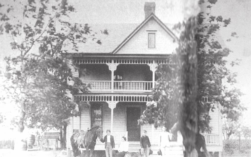
The area they chose to farm, though, had some of the richest, blackest, most farmable soil in the surrounding area, and IRISH RIDGE became home to some of the most prosperous farmers, merchants, and bankers of “Forney Country.”
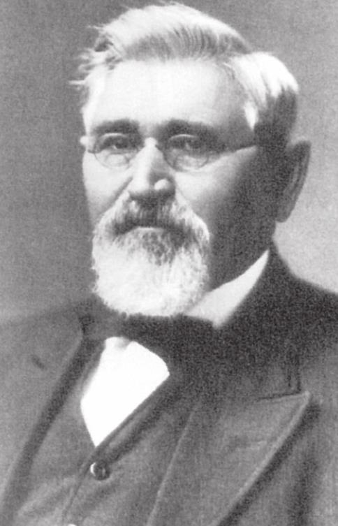
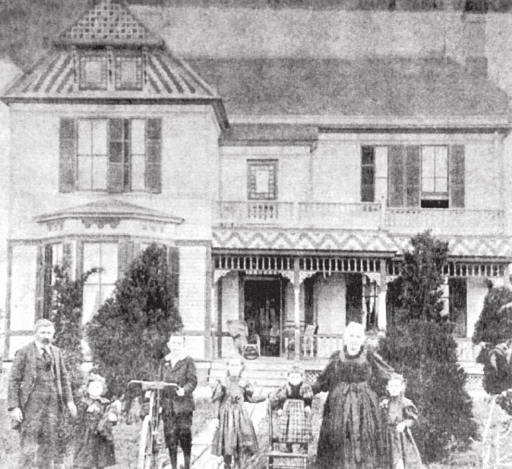
The first house on the Ridge was built by Thomas Layden, and because of the family’s prominence, the area became known as LAYDEN RIDGE.
In 1891, the Catholic Diocese established a parish on the Ridge—St. Martin Church, at today’s intersection of FM 1641 and I-20. In 1901, the St. Martin Convent and Academy, administered by the School Sisters of Notre Dame, were established adjacent to the Church.
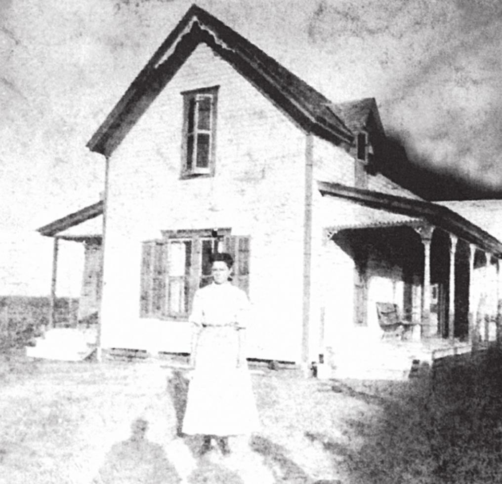
Catherine Adams Dennehy and Isabel Talty Morris (natives of the community) reminisced about life on the “Ridge” in days past: “We danced every Friday night, honey! Church dinners often lasted three days. Growing up in Talty was a joy. We all thought we were rich. We went to school together; we danced together. We were kind of like a ‘family.’”
Patrick J. Costello, local historian, reported that the “Irish brogue” was heard there well into the 1st quarter of the 20th Century and that St. Patrick’s Day was a major, all-day event around the “turn of the century.”
Another name of this area, ALMA, had its origination “who knows how or after whom?!” The “Alma School,” about 1881, stood at the corner of Talty Road and Helms Trail and was for a while one of the largest rural districts in this part of the county and included a Negro School on Rouvaldt land near CR 213.
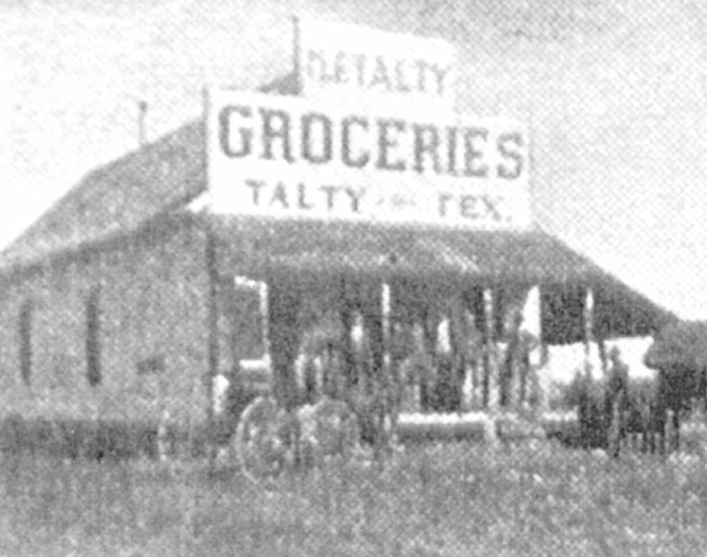
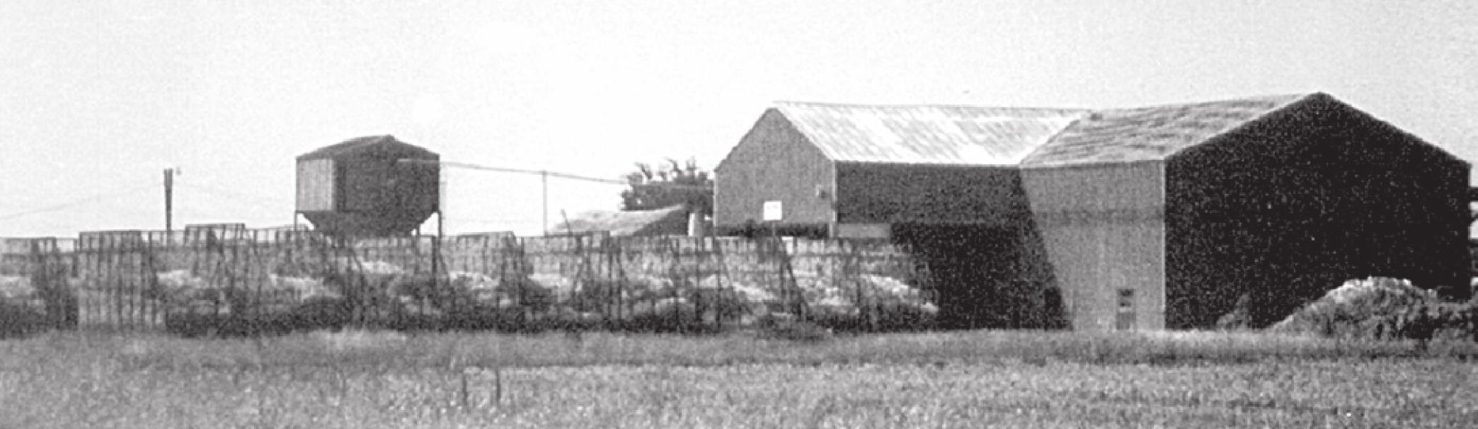
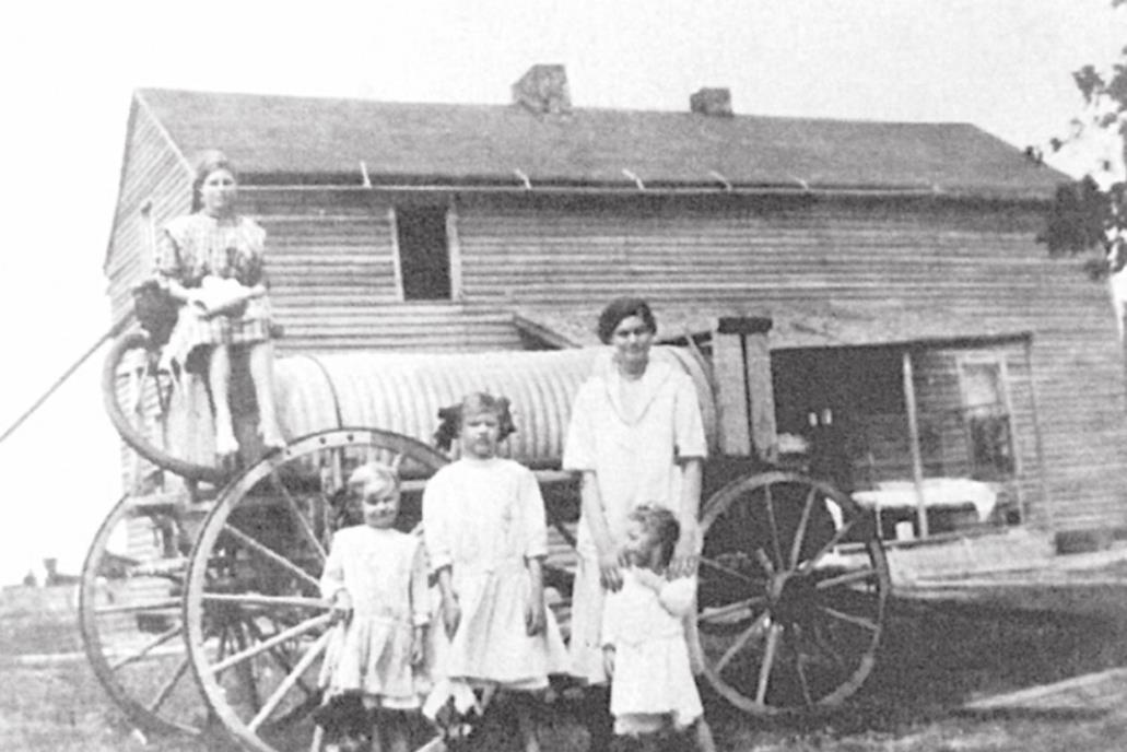
In recent years, this area has become known just about totally by the name of TALTY, which had its beginning locale generally as marked by the area at the intersection of Talty Road and FM 148, where Mike Talty established a grocery store around the turn of the century. Also, beginning in 1899, a post office was officially located in that area, and a cotton gin was at the SW corner of this crossroads—operating until 1997 as the last in Forney Country!
UNION RIDGE (Davis Chapel, McKellar Ridge)— centered around a schoolhouse, about 1877, on the property of J. M. Davis, Sr. on CR 218 (Townsend Road), a short distance northeast of U. S. 80. The Union Ridge Christian Church met in the schoolhouse, and the name of “Davis Chapel” sometimes was used to “call” the school.
John C. McKellar purchased “acres” in the neighborhood around 1876, and “McKellar Ridge” came into use as a name of the area. McKellar’s daughter, Nan McKellar Smith, recalled the Country Club, a social organization for women of the “Ridge.” This club of creative and educational activities was active in the area until at least as late as 1966.
MILLER—“Miller School” was on the northeast side of FM 548, about five miles northeast of Forney, and the belief is that it was named for the family of Peter Miller (extensive land holdings) between 1884 and 1898.
In 1890 or so a cotton gin operated in the area, and for several years Mt. Rose Church (Negro) held services near the north end of Calvert Road, also lending the building for use as Miller School #2 (Negro).
Notable in the memories of “old-timers” were the crossings of herds of wild mustangs at Big Brushy Creek in this area.
VALLEY VIEW (Whitebanks)—established in 1881, the nucleus of “Valley View” was a schoolhouse about seven miles northeast of Forney on the SW side of Neal Road about ½ mile southeast of Valley View Road.
Valley View was first known as “Whitebanks” in the 1860s, and Gillespies were early settlers. In 1866, one thousand acres of the rich soil reportedly sold for one dollar per acre!
Later, Valley View had three churches: Valley View Baptist, Allen Chapel Methodist (early as 1879), and a Black Congregation, which met in a building across Neal Road from Valley View Cemetery.
A surviving visible reminder of this area is the Valley View Cemetery, then quite often known as “Cornstalk Cemetery,” on the NE side of Neal Road, which had its last known burial in 1949.
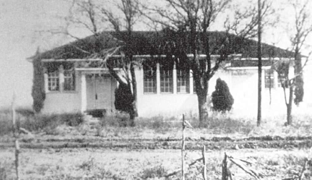
COATS—The “Coats School” was actually part of the Valley View Neighborhood and was located 5 miles NE of Forney on the SW side of University Drive, a little SE of Valley View Road as early as 1898, al though land was not officially deeded until 1904. The name probably came from the family of B. F. Coats, a prominent landowner in the area. A new school building was erected in 1926, and the school consolidated with Forney School Dist. in 1944, when the building was moved into the town of Forney to become part of the buildings of Booker T. Washington School.
A post office was established at the crossroads of this area in 1901 and, strangely enough, was called “KRUGER, TEXAS,” in honor of Paul Kruger, President of Transvaal during the Boer War, in progress at the time.
BUFFALO (Lone Pecan)—Buffalo School was located near the Rockwall County line about 4.5 miles north of Forney on the East side of FM 740 and was named after Big Buffalo Creek a little to the east. The name of “Lone Pecan” was also commonly used for this neighborhood from the early 1890s until a while after the turn of the century.
The Dozier and Fields families donated two acres for a school about 200 yards east of FM 740 on a road connecting the Buffalo and Valley View neighborhoods.
A Methodist congregation met in this area near the Buffalo School, and a cotton gin also operated somewhere near, along with a sorghum mill.
PLEASANT SPRINGS (Arkansaw, Briscoe)—This is reportedly the oldest settlement in the Forney area, with the Briscoes being the first white settlers in 1846. Isaac (father) and sons—Thomas, William, and James—located their “land rights” along the junction of prairie land and East Fork River land, about three miles NW of present-day Forney.
The name, “Pleasant Springs,” originated from the great abundance of “springs,” which flowed out of the slopes of the prairies that dropped off into the East Fork bottom lands and were a main reason for this being an early and popular area in which to settle.
About 1.5 miles from the intersection of Ray Hubbard Drive and FM 740 is the Pleasant Springs Cemetery, sometimes called “Briscoe Cemetery,” which is not a great name, for only three graves can be identified as “Briscoe” burials, and most markers were those of “Dahn.”
In the 1880s and 1890s, there were both Methodist and Baptist churches, and during the 1920s a Black Congregation had a church of now unknown name.
The 1st Pleasant Springs School came in 1879, and a new one was built in 1914, consolidating with Forney ISD around 1947.
The 1914 building was still standing and in use as a hay barn until recently. The “Buffalo Colored School” stood on the NW side of FM 740 about a mile and one-half from the intersection of Ray Hubbard Drive.
As early as about 1890 a sorghum mill was operated in the area by John Wilson.
And, so ends a brief description of early Forney neighborhoods that were often “cities” and “families” unto themselves until the larger “TOWNS” of Forney and then Talty absorbed them and became the area today that may be on the way to becoming what had been predicted already in 1980 or so when, at one meeting of the Forney Planning and Zoning Commission, headed by Patrick Costello, we heard a “state developer” predict that by the year 2000, the area from Dallas to Texarkana would be “one, long retail/ commercial corridor.”
**I think he missed his prediction by quite a few years, don’t you, Mike?**
- Log in or Subscribe to post comments.