
Yes, I live in the “Old Military Trail” neighborhood, and when growing up rode my bike to the “Crestview” neighborhood to meet up often with Rod Stark and sometimes with Alan McCuistion. And, I would be driven past the “Ligon Addition” neighborhood on the way to take music lessons at Mrs. Dickey’s house at the curve on down the farm road we called “the end of Bois d’Arc.”
But I have had several folks the past few months ask about the outlying neighborhoods that were actually little communities in themselves—some, because they had read other partial descriptions I have mentioned in earlier articles and some because they have heard the Forney “oldtimers” say things in the post office.
So, let me continue with a 1934 quote by Bessie Davis Elder Portwood about her younger years in the Forney area. “There were no schools out our way when we came, there being so few children needing to be taught, so I was taught at home. I was in the third reader when I first started to school in 1876. This would now be called third grade, but we knew nothing of grades then. As more people came in and settled out our way, a school house was built near us and was called ‘Union Ridge.’ It was a subscription school lasting from three to five months in sessions each year.”
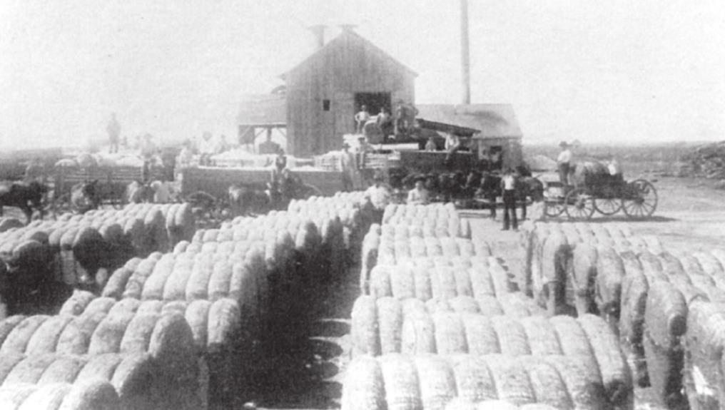
And the area served by this school became its own rural community, which was also at one time called McKellar Ridge. In fact, the agricultural prosperity of Forney was directly linked to rural neighborhoods, and many developed individual traits and identities (stores, cotton gins, and especially schools and churches that were unifying influences and social centers) even earlier than Forney actually became a town/city.
Then, as Forney progressed, it became the principal commercial center for all these outlying communities, and the “country” residents were the main life-blood of “Saturday Shoppers” that supported the commercial ventures of the town.
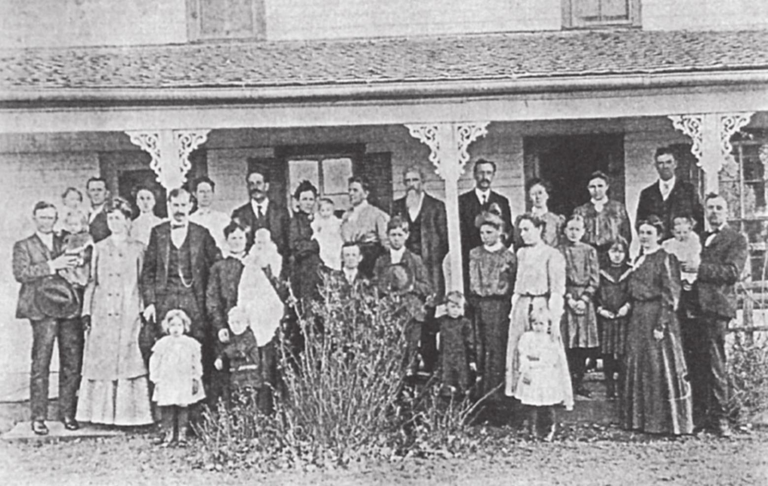
And, as more time passed, many and more of the increasingly prosperous farmers moved into Forney and still maintained their farms so that they could be close to good schools and church activities.
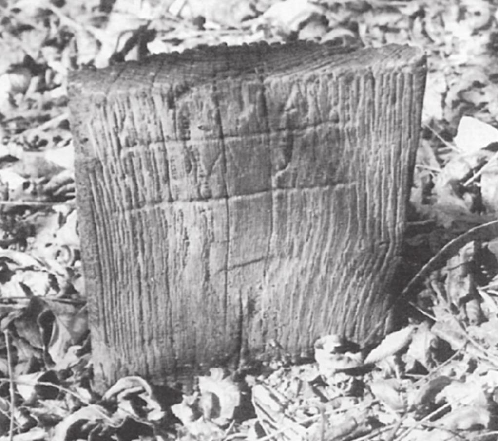
As more time passed, there was a gradual decline of “small farmers” and improvements in roads and transportation; the rural communities declined in importance until they were no longer recognizable by average folks, especially the “newer” residents. And even though they were once integral parts of the development of the City of Forney, all that now remains are a few “gin ponds, abandoned cemeteries, and barely recognizable dilapidated buildings.”
And, I am often asked why people did not preserve these historic and wonderful buildings and sites, but, as you may already realize, modern progress was deemed more imminently important—and the sites really weren’t all that historical at the time! **If right now, you owned an acre of developable land in the outlying Forney area (and it had a dilapidated old church building on it) and you could sell that acre of land for $100,000 to $150,000 or fix up the building for $200,000 and keep the land in your family for people to drive by and see, what would you do—especially if you were not wealthy and had no deep roots in our area?—Themer’s editorial comment!**
Some of the outlying RURAL NEIGHBORHOODS of our area are the following.
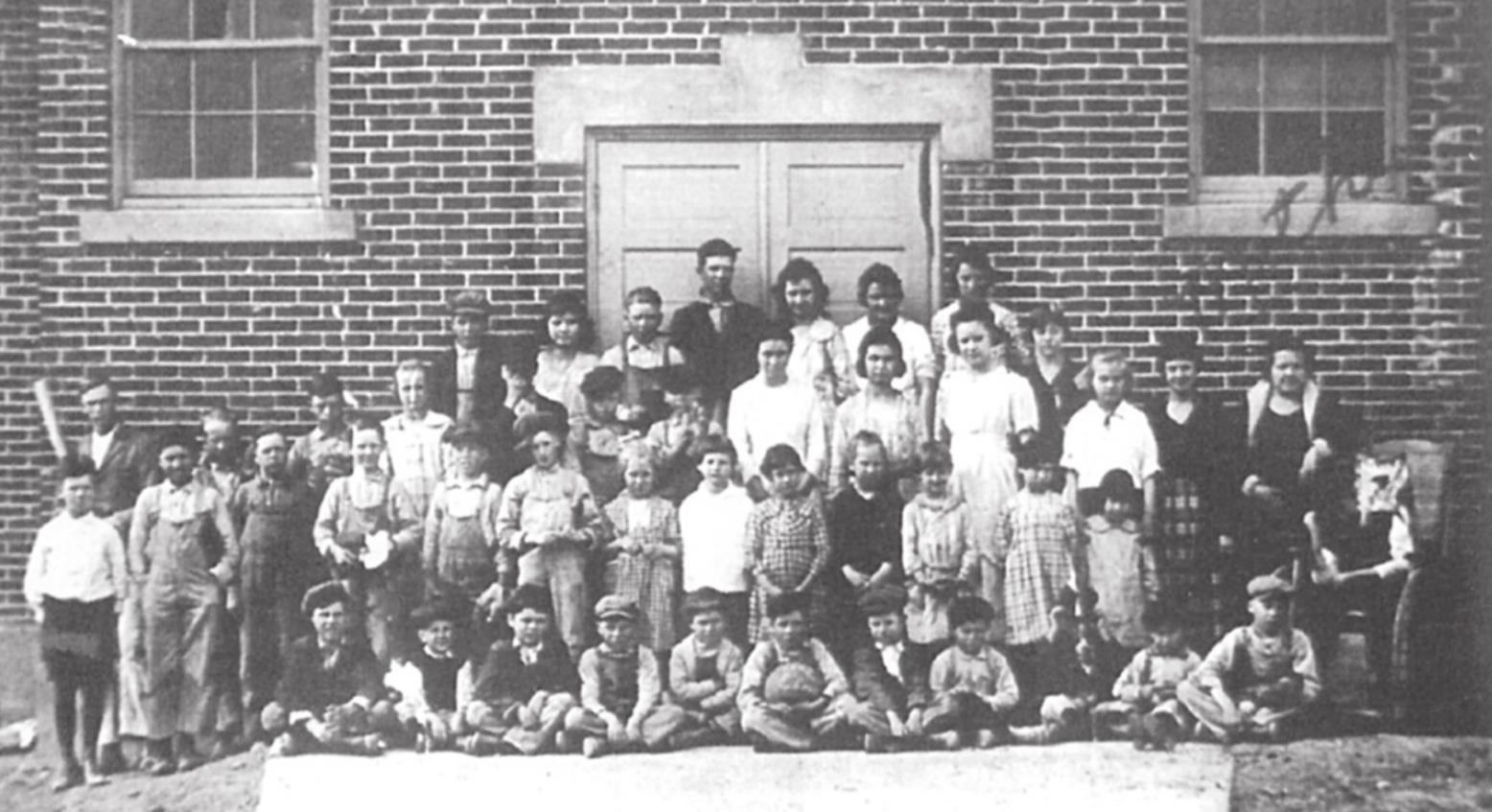
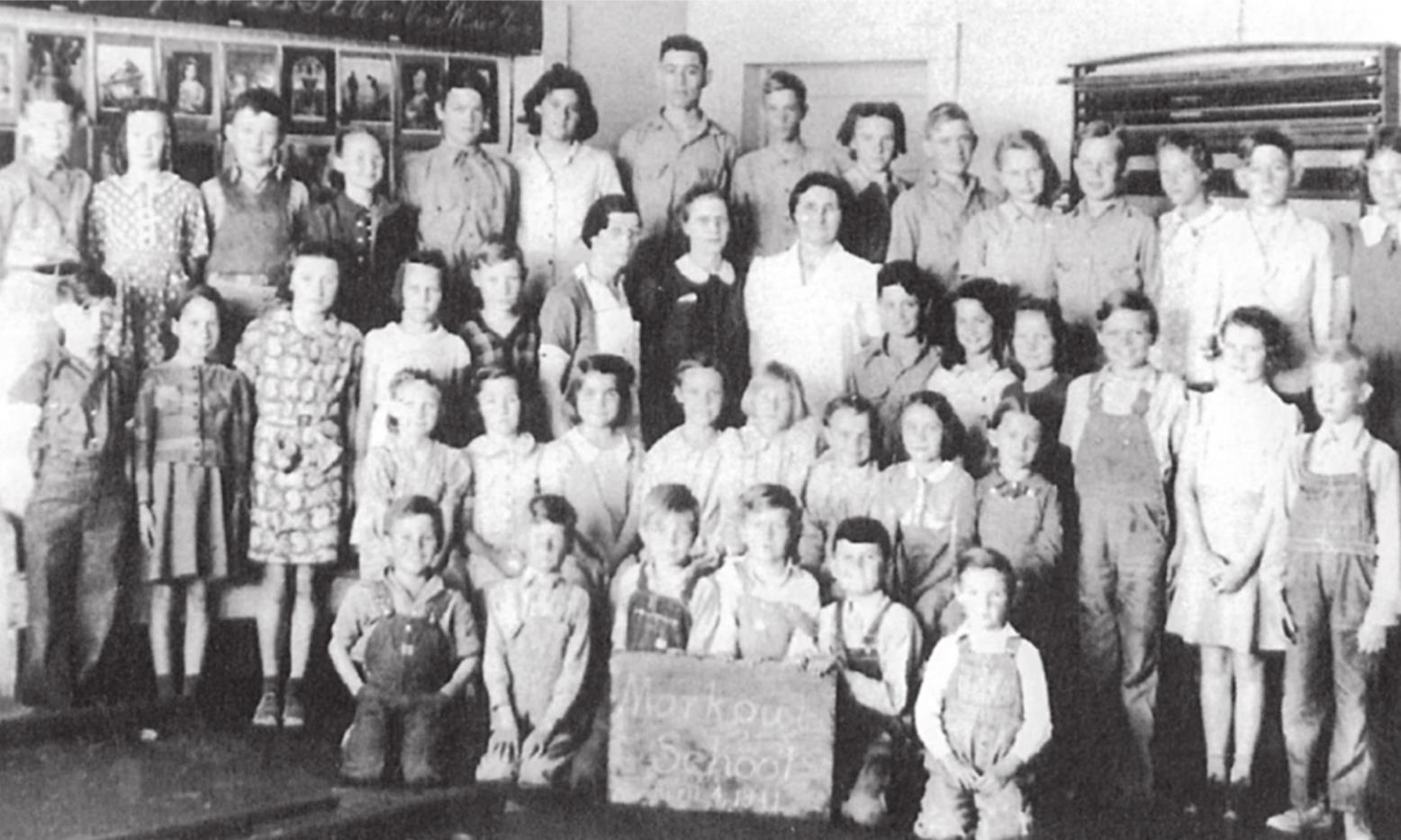
1. MARKOUT—also called East Fork (earliest name) and Pleasant Grove—about three miles south of Forney, this is one of oldest of our communities and was first settled by Fincher Jones, around 1847 (25 years before the City of Forney) at about the intersection of I-20 and FM 740 and taking advantage of the “Trinity River forests,” while locating his cabin on a hill north of the intersection FM 740 and Markout-Central Roads. The origin of the name, Markout, is open to speculation, but originally the East Fork name was used because the 1860s Wheatland School later was replaced by the East Fork Academy, which gave the community a label. By the 1880s, nearly everyone used the community title of either East Fork or Pleasant Grove (more than likely due to the “pleasant groves of trees” of the Trinity River areas.) Several cemeteries from this era still remain, but some have few recognizable markers!
2. BLACKLAND—also called Mustang (at first from the creek in the area)—centered somewhat around the intersection of FM 741 and FM 2757 between Little Buffalo and Mustang Creeks about 2½ miles north of Crandall and 6 miles south of Forney. It is about the same age as Markout and took its “Mustang” name from the school located there as early as 1849 and its “Blackland” name from the school later built about 1888 on land donated by James K. Brooks. This neighborhood marks the location nearby of the “Caddo Crossing,” where the CADDO or KICKAPOO Trace crossed the Trinity’s East Fork.
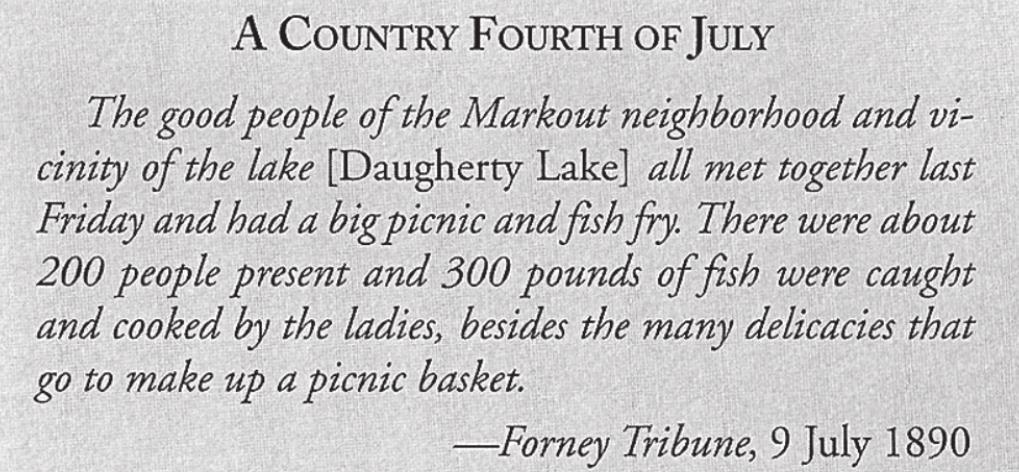
3. GARRETTVILLE—also called Daugherty Lake after the Blackland area water mass. The neighborhood was concentrated along today’s Kelly Road and was sometimes called Garrettville, because Dr. W. M. Garrett was a principal land owner and to distinguish the area from just the lake! From about 1900, a Negro School was in operation there and was finally moved to a differing location around the 1950s to be used as a Church (later demolished).
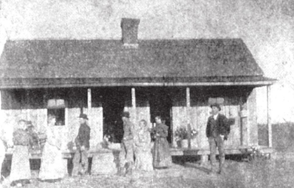
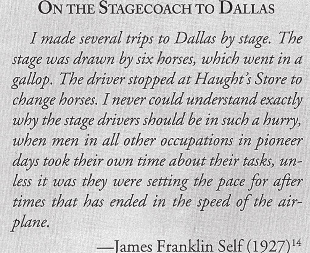
4. UNION HILL—This was once actually designated a “village” and had its own post office prior to one being in Forney. The village was situated on the west bank of Mustang Creek, about halfway between Blackland and East Fork. Already in the 1860s the area was known for a saloon that serviced the stage route and for the Stagecoach Station there in the 1860s and 1870s. A better name for the community might have been “Daugherty Hill,” since the area was developed by their pioneer families. Union Hill did not flourish economically as a community but did continue to grow and flourish as a residential area until sometime in the 1900s.
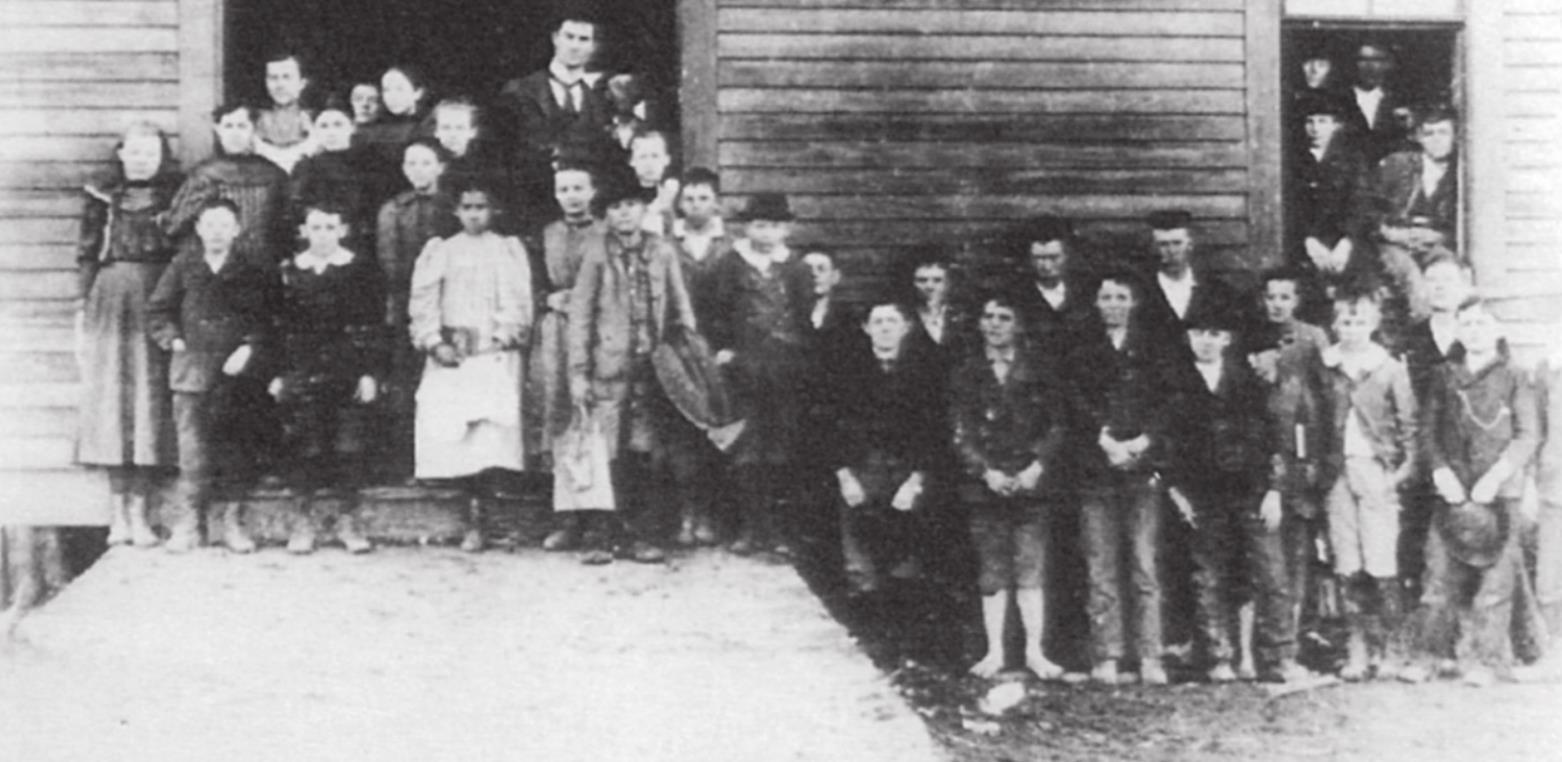
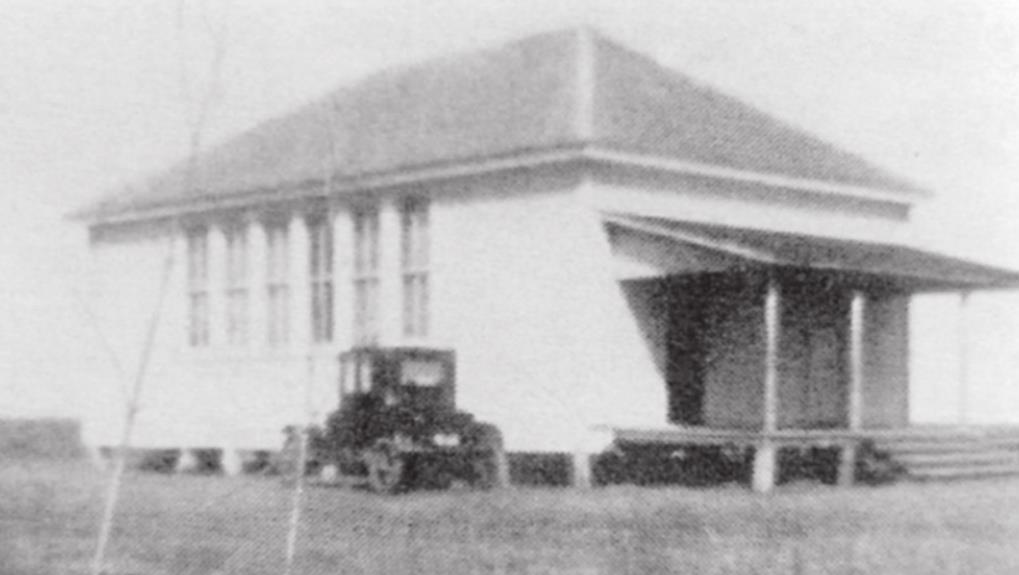
5. LONE ELM (This is “my community,” and there actually was a real, “Old Military Trail,” used by the military troops marching cross the country area.) The first school in this area was established early in the 1870s, and a “pair of solitary, old elm trees” stood on a “hill” not too far from the intersection of FM 741 and CR 256 (High Country Lane). The elms were important as visual signposts as late as about 1940, but have now disappeared! The Lone Elm Neighborhood was the only one in the Forney area to be designated as a “country school community” and was well-known in the area as a “center of neighborhood social life,” even being “written up” in newspaper articles! For those of you who know this area, I am describing the area around what many of us know as “Shipleyville.” I went to school with Harry, James, Jerry, Pat, Mike, and taught many other Shipleys from that area when I began my career!
ANTIOCH—one of the few communities in this article not named after some school, but rather a Primitive (“Hard-shell”) Baptist Church, constructed in the 1880s—Historians would probably debate whether this area should actually be considered separately from the Lone Elm Neighborhood. In 1884, R. S. Yates deeded one acre to the Church, and its cemetery still remains on part of that tract. Close to FM 2932 and CR 259.
I have been “down” the past several days, and it has been good to be up-and at-em last night and today; however, I hear the cough drops and the ibuprofen calling my name, so, I will close until next week’s conclusion. I hope you are having “happy days in your neighborhoods.”
- Log in or Subscribe to post comments.